KYIV CITY
RENEWABLE ENERGY SUITABILITY ASSESSMENT
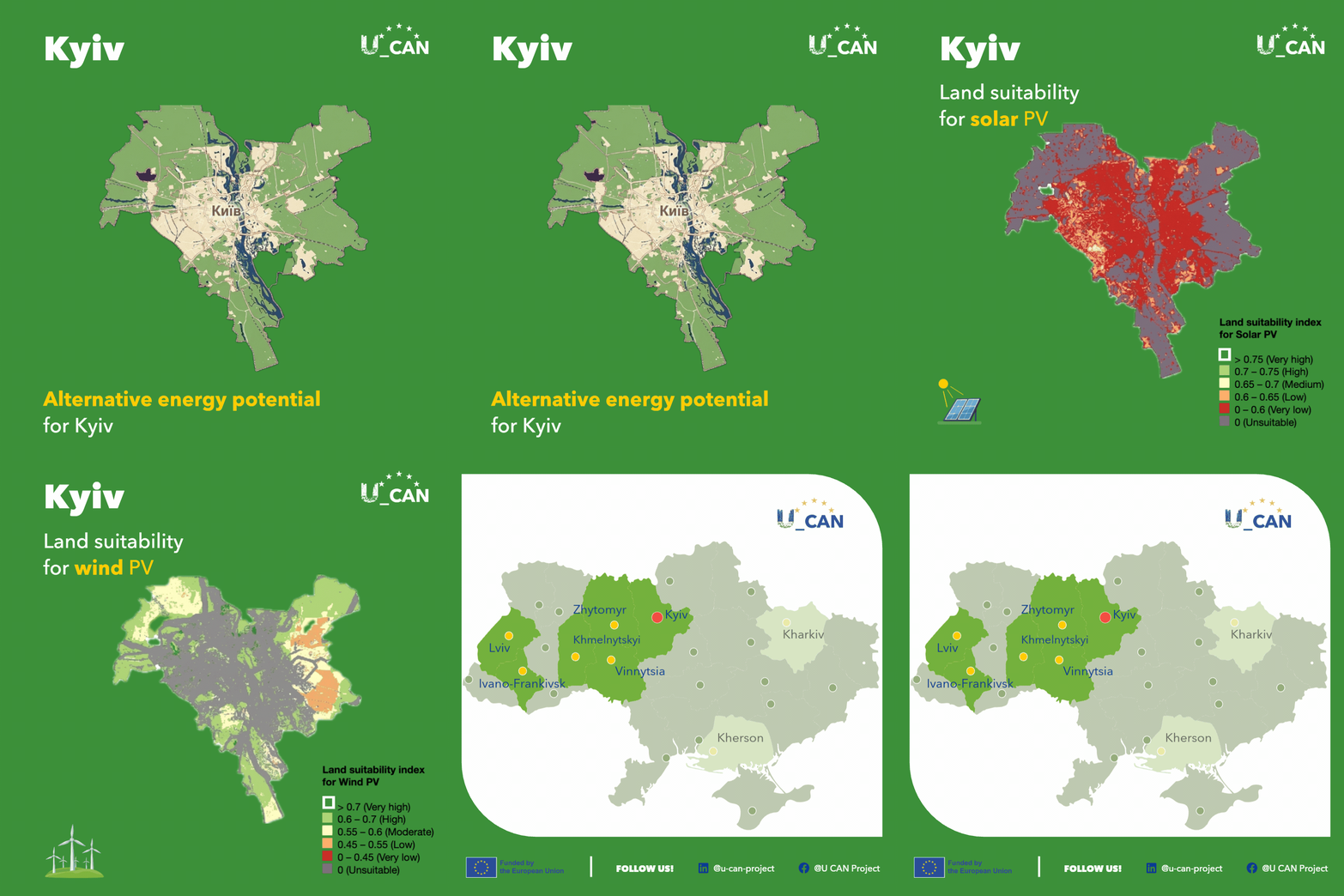
High-resolution spatial mapping provides capital decision-makers and urban planners with a detailed view of renewable energy suitability across Kyiv hromada. By reviewing the animated graphic above or exploring the U_CAN interactive map, municipal officials can identify strategic areas for sustainable energy deployment and decentralised power.
Solar energy potential near Kyiv achieves its highest suitability in areas west and south of the city, with moderate overall suitability scores. In contrast, spatial maps show that the urban core and surrounding dense sectors are categorised as unsuitable for large-scale ground-mounted solar arrays due to high building density, existing land use, and spatial constraints. For municipal planning, this underscores that solar development within the capital must prioritise rooftop photovoltaic installations on municipal infrastructure, commercial buildings, and localised micro-grids.
Wind energy potential is significantly higher around the city, displaying high suitability across extensive areas of the map. Very high potential (>0.7 land suitability index) is concentrated in specific sectors to the west, north, and east of the capital, offering strong opportunities for localised wind energy integration to support municipal power resilience.
City officials, urban planners, and energy managers can utilise the U_CAN interactive map to explore specific spatial zones across Kyiv hromada and other pilot municipalities.